LidaRioja, a collaborative project aimed at optimising the management of the region’s forests
Read the featured articleThe Forest-LidaRioja Operating Group is a collaborative project that includes the participation of institutions such as the Regional Government of La Rioja (through the Directorate General for the Environment) and the School of Forestry Engineering, as well as companies such as Garnica. The aim of this initiative is to draw up a forest inventory of the region to improve the management of the 130 million trees in the La Rioja region.
Over 50% of the land in the region is covered by forest and constitutes a vast natural resource. However, this major asset must be managed sustainably to ensure mature trees are replaced in a timely manner and to prevent a shortage of supply to timber-dependent industries such as Garnica.
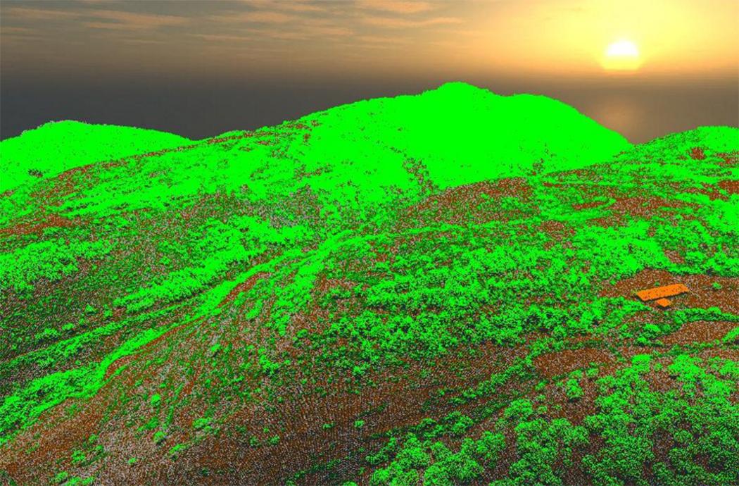
LiDAR (Light Detection and Ranging) is a remote sensing technology that, using aerial measurements taken with lasers, makes a scan of forest areas in order to map the land and create an ‘x-ray’ of the landscape. This system provides data about the density and height of the forests, the approximate timber volume, the vegetation, etc. This data is a valuable tool in optimising forest management.
Furthermore, this detailed picture is highly useful in the prevention of forest fires, since LiDAR allows the accurate mapping of fuel models, which is crucial in preventative clearing work and in tackling forest fires.